Plot data on the map
See where each variety grows and browse each plot's growing, yield and grading data, from the field, the packing house and your existing systems.
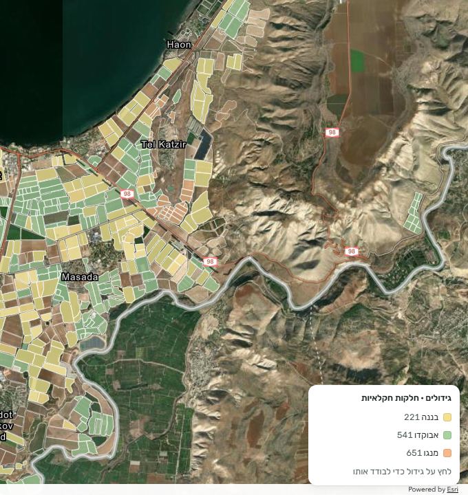
30,000+ dunams already on SYLORA
SYLORA connects field, packing-house and marketing data. Compare yield, quality and returns across plots and seasons. Ask AgriChat in plain words and get answers from your organization's own data.
In the demo you'll see how yield, quality and returns compare on one map.

Through the season, data builds up with growers, at packing houses and in marketing. When it sits in different systems and reports, judging the season means finding the data, cross-checking it and pulling it together before any conclusion can be drawn.
SYLORA brings field, packing-house and marketing data into one place, so you can compare performance across plots and seasons, spot gaps and plan from a fuller picture.
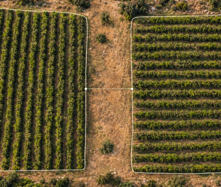
SYLORA brings grower, packing-house and marketer data into one picture, so every party can assess performance, weigh options and decide what comes next with a view of the whole agricultural chain.
Growers
Plots, crops, varieties, irrigation and harvest forecasts.
Packing houses
Quantities received, grading and quality results.
Marketers
Quantities, marketing destinations and returns.
See where each variety grows and browse each plot's growing, yield and grading data, from the field, the packing house and your existing systems.
Ask AgriChat about plots, yield or marketing. Answers draw on your organization's data and can include comparisons and the relevant plots marked on the map.
Compare yield per dunam, grading results and returns to spot gaps and ground decisions for the next season.
Each grower decides which data to share and with whom, so what joint work needs is shared and everything else stays within its permissions.
SYLORA is built for organizations that receive data from many growers, plots and systems and need an overall view. It connects the data already collected in day-to-day work, so performance can be compared and decisions made at the organization level.
Working with us



SYLORA was developed in the GIS department of Shamir Research Institute in the Golan, through work with growers, packing houses and marketers. The team combines hands-on knowledge of agriculture in the field with expertise in mapping, remote sensing and data analysis, to build tools that fit the way agricultural organizations work.


Asaf Aizik
Team Lead
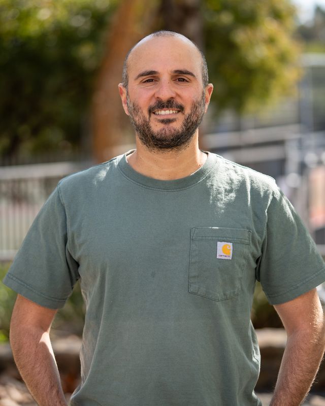
Dr. Shlomi Aharon
Remote Sensing & Ecoinformatics Researcher

Aharon Cooper
Data Scientist, AI & Cloud Security Specialist

Ofek Swisa
GIS & Web Applications Developer

Avichay Amiel
GIS Operator